charliejr
Full Member
- Joined
- Jan 30, 2012
- Messages
- 217
- Reaction score
- 45
- Golden Thread
- 0
- Primary Interest:
- All Treasure Hunting
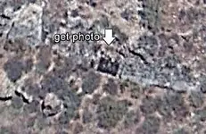
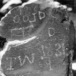
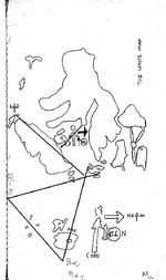
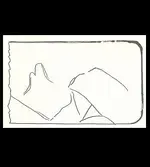
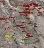
Apologies, I am using ArcGis, AutoCad, and various satellites. I also use Google earth. It seems to be the best platform to export files for other users. (My best visibility ranges from 30 feet to about 100+ down) I am using different sources and my own searching to compile a visual map. (Mining data, geologic data, historical data). Here is some of the compiled datum.

Amazon Forum Fav 👍
Last edited:


