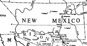
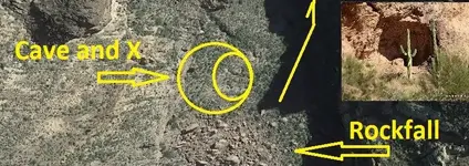
There were a number of trails through that general area, dating back to the Hohokam at least. And were likely used by the various groups of natives and European explorers who came along after them. If there were any stone maps or other caches, they may have been buried within sight of any of those old trails.
The bone of contention within the group interested in the history of the stone maps is more about exactly where they were claimed to have been " found " by TT, with some saying "near US 60 where it crosses QC ", and others claiming near the older road/bridge, at Black Point or elsewhere. None of this matters of course, if Travis did not find any stone maps in the first place.
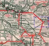
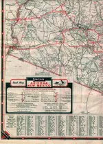
This.....from a 1938 AZ road map, clearly shows both the original road and the re-aligned highway (now known as US 60) between Apache Junction and Florence Junction.....outlined in blue.
The newer highway and it's concrete bridge over Queen Creek was only two lanes at that time, Travis' time, but it definitely bypassed the older loop and bridge to the east.
View attachment 1406547
View attachment 1406548
A call to ADOT would likely yield the exact date when the newer 2 lane highway was completed.


