John_Arizona
Hero Member
Looks like a Pitt bull face on top of the photo
Hey Frank, Bring your gold witch to the next rendezvous at Don's Camp
Looks like a Pitt bull face on top of the photo

How will it help us determine if the Stone Maps are real or a hoax?
Why like this my dear watson
<img src="http://www.treasurenet.com/forums/attachment.php?attachmentid=1049570"/><img src="http://www.treasurenet.com/forums/attachment.php?attachmentid=1049571"/>
.just another spot of thousands that the maps "fit".doesnt look like a horse head from this vantage point.. photo taken by art brown.. maybe it was more noticable when it was just a river running through there?
Panoramio - Photo of Stewart Mountain Dam
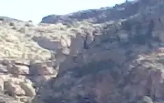
Its was supposed to read birds,hearts. There is a large stone bird,and a couple of hearts. The bird tells the direction I think. The heart is carved below the bird. If im reading it right. It say heart. Is south. Which is one of my location.
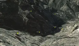
I believe what we are looking at is the heart minus the m described by the stone maps. Above the minus you may be able to make out a carved priest. I need to get back in there with a much better camera. The priest carving is the M in MAPA followed by the rest of the letters, then below the heart - m is the word Coazon.
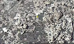
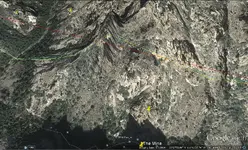
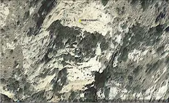
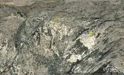
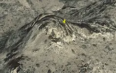
Is this what you are reading about the Bird?
<img src="http://www.treasurenet.com/forums/attachment.php?attachmentid=1090232"/>
View from the Golden Heart
Johnmark I spent time looking your area over and found lots of signs of mining. There is a large vein that is the continuation of the same vein I am looking at in your area. It runs the north face of all the draws and Canyons south of the road.
Johnmark I spent time looking your area over and found lots of signs of mining. There is a large vein that is the continuation of the same vein I am looking at in your area. It runs the north face of all the draws and Canyons south of the road.
Because your trying to give my land to the government. And as far as the tax thing I'd rather see you have it then blow another hole in the sand in a place I'd give not a damm about.
Wrmickel1
The government already owns it. They are trying to give it to resolution copper miming company.
We are trying to stop the swap,because the mining company will close it off to the public and all of the history will be lost.
Again the government is trying to give it to a private company.
We are only trying to stop the swap and keep it public.
I hope that clears things up for you.
No' it don't,
Mining pumps millions in to the local economy good for all.
Jobs,state taxes ect. Keeps AZ in the black and not in the red,
Same as oil and coal does here. North Dakota has over two billion in its reserves . If you ever been here you would see a big Hugh differents in the quality of life between the people that live there and here, Most have here and not to many have nots. You could send 5000 people here and they would all have jobs tomorrow.
So if they land swap for the good of all, Then let's do it.
Wrmickel1
.
