EagleDown
Bronze Member
- Joined
- May 13, 2010
- Messages
- 1,857
- Reaction score
- 629
- Golden Thread
- 0
- Location
- California
- Detector(s) used
- Whites MXT, Whites TDI
- Primary Interest:
- All Treasure Hunting
- #2,261
Thread Owner
According to GoogleEarth, I'm about a mile and a half to the East of Bondurant. I've been wanting to check the tailings around the Bondurant, but I didn't want to spend the time driving in, just to find that there's someone living there. (lol) Since GoogleEarth is 2 years old there, you can't always be sure of current conditions.Jeez, with the water (drought) situation going on, you must be out by the North Fork of the Merced!I was out and about yesterday, near the Bondurant Mine, ended up going back down the hill to Moccasin Creek near Jackass, and got a few pickers in the sluice. Water running out, no more sluicing in the smaller creeks soon, gotta' get a Highbanker....... wah wah wah.....
This year might the only year in a long time that a Dry-Washer might do the trick, unless you want to pan..... Oh, the pain
Rick

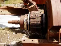
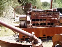
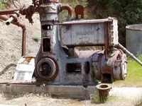
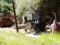
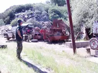
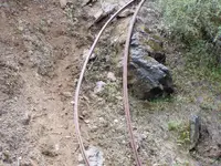
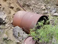
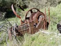
This old mine/mill is pretty close to Jackass Mountain. At least to the icon for the mountain.


Last edited: