Hal:
Exactly what I was referring to when I said this:
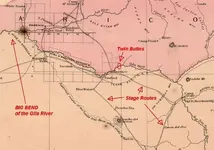
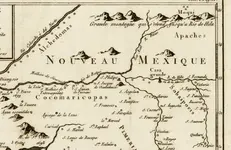
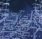
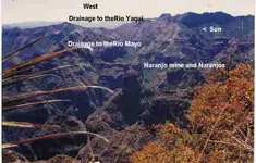
"A small number of these same maps,from the early-mid 1700's,also show the location of the other ruins at Twin Buttes "
According to the accounts given in the three links I supplied,the ruins were extensive and continuous throughout a wide area.
A large platform mound was also described as being a short distance north of Casa Grande.
I don't know about "stone age"(9000 bce-2000bce),unless the hohokam etc. are classified as such.
That would make these ruins over 4,000 years old...minimum.
Perhaps Joe can supply some reference material concerning these ruins,which describes them in that manner.
Early references by the Pima to "Moctezuma" are usually considered as unreliable by modern historians.
It is likely they also consider most of the oral histories of the native peoples just as unsubstantiated,IMO.
"somehiker,
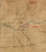
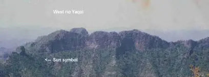
The San Pedro meets the Gila east of that stone house in the image. This is the one featured on the Florence topo. Since you know where the Twin Butte symbols are, do you agree with what I wrote above?"
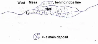
Joe (with his correction) is generally correct for some of the photos,but not all I believe.The hill has a dogleg and is part of a larger U-shaped formation.The horse is on the dogleg and along with the heart and "hockey stick" there is a large triangle.
Should be easy to find on foot...even on G/E....with a bulldozer path to follow.Would guess there aren't too many roads by which a dozer could be hauled in.
A claim filing and fencing would indicate the possibility of an important discovery IMO.
Maybe the hill is actually the end of the Stone Map trail.

Regards:SH.


")