tweeta_bear
Hero Member
- Jul 5, 2013
- 657
- 181
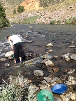
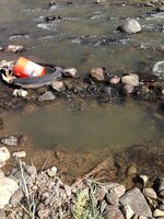
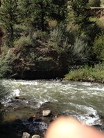
is it fair to say that most of the high mountain have fissures in them? is it also fair to say gold follows water? with these questions in mind if i find an old dried up creek bed coming down off the mountain and i dig in the right spot i can get what im looking for or has it nit made it down off the side off the mountain yet(ie not reach the creek yet)?


Upvote
0

")