Re: Basic Spanish signs and symbols you have found
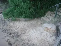
The left hand side of the staircase has an ancient hand carved rock which is a curved banana shape. I call these a beckoning marker. Picture a Spanish don arriving at a doorway at the same time as a female. He stops , bows and flourishing his plumed hat beckons her through first. A beckoning marker is a semi circle marker which is purely an arrow or pointer. It can be a handspan in width and constructed of a different coloured soil or a shaped rock such as shown which would weigh about a ton.
The curved handshaped rock on the left hand side of the staircase is partly obscured by the overhead bush has an important point that could be overlooked . From the left hand side of the right hand petroglyph to the extreme left hand edge of the left hand beckoning rock measures exactly three and a quarter paces, meaning that all pacing for all the left hand side caches commence from this point. The first tunnel is exactly just past the left hand side of the beckoning sign.
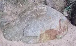
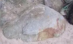
I have inserted that petroglyph in again as we are not finished with it. On top of this rock is the figure "E" or 3 or it can be taken as a beckoning sign as it is pointing up to the left in an all encompasing manner including upwards and forwards.
Besides the water level inward tunnels along the beach there is a blown up cave higher up which was created long ago at sea level and the shifting of tectonic plates pushed the cave upwards to the top of the level of the top of the staircase. And for thousands of years the caves entrance was staring out to sea sadly untill the Jesuits arrived, filled it with treasure then blew it up, then cemented up the entrance so no one would ever have an inkling that a cave had ever existed here. The only clue which is worth remembering for active t/ hunters is the angle of the "figure 3 or E " ( or a broken heart meaning gold here but beware of booby traps) figure which is pointing at everything to the left including upwards. If the cave had been at sea level the top inscription would have been lower.
I will not be removing any more underground indicators of which there are some left . There are several more caches or more to the right of this petroglyph and all will be double caches, and all are three and a quarter paces apart. At the cliff top to the right are specially planted trees three and a quarter paces apart, and the most remarkable nature of these trees is that they come from Western Australia which is over 2 thousand miles away, which apparrantly does not raise eyebrows or curiousity.They have grafted intructions attatched which I find interesting. The important feature of all markers to remember is that they are NEVER of local origin. Max


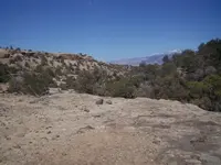

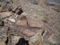

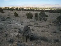

 ......So over the years I have now learned a little more....will return that rock some day and look for more signs.....
