Stone Piles

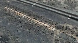
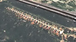
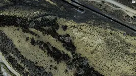
Can't find me in historical images, must have been removed. Got so many maps probably will need a new thread (maybe dowsing board). Supposed to be gold caches along river. River runs next to smelter. I believe it is private property in there by river. Back then people hunted ammonite fossils around smelter.
 

Attachments

  • Cerrillos-smelter_Smelter.jpg
    Cerrillos-smelter_Smelter.jpg
    320.2 KB · Views: 47
  • Cerrillos-smelter_Smelter-B.jpg
    Cerrillos-smelter_Smelter-B.jpg
    252.4 KB · Views: 50
Can't find me in historical images, must have been removed. Got so many maps probably will need a new thread (maybe dowsing board). Supposed to be gold caches along river. River runs next to smelter. I believe it is private property in there by river. Back then people hunted ammonite fossils around smelter.
That appears to be a lot of smelters.
 

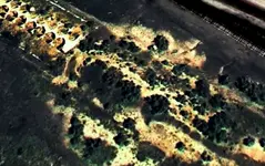
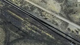
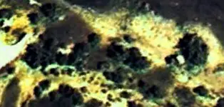
2nd thought maybe posting them in dowsing forum a bad deal... someone will be sure to jump in to say nothing is there. Downloaded some of highest resolution GE maps. Might be in there, was wearing cut-offs from light tan jeans. I probably look like that rock with the shadow in front of it. The old train tracks crossed the river next to smelter. Bridge and old tracks are gone, the old foundation is there but think land is BLM. I noticed various old bottles inside foundation wall (didn't remove any of them). All left of ghost town Waldo is several old foundations still visible. Top of foundations even with ground level.
 

Attachments

  • Cerrillos-smelter_Waldo-Bzoom-crop.jpg
    Cerrillos-smelter_Waldo-Bzoom-crop.jpg
    743.2 KB · Views: 44
  • Cerrillos-smelter_Waldo-B.jpg
    Cerrillos-smelter_Waldo-B.jpg
    1.7 MB · Views: 47
  • Cerrillos-smelter_Waldo.jpg
    Cerrillos-smelter_Waldo.jpg
    2 MB · Views: 43
Have topo maps now but need to start a new thread. I think it was an aerial photo with me that was in historical GE images... can't seem to find it now. Remember an airplane circling around, as they do when taking aerial shots.
 

I don't typically relic hunt too much, but have been watching NOT THURSDAY videos a lot lately. Learning quite a bit about stone walls, foundations (visible or depressions), etc.
On one of my deer hunting properties, where I put a treestand, there are ten piles of stone in a cluster. A couple feet high and maybe 8 feet diameter, 10-20 yards away from each other. I've found a few foundations nearby, but not right at these piles. There are some broken stone walls around the area but not enough to contain livestock. It's quite wet also, so I doubt it would have been crop field.
Any ideas why they would pile rocks in multiple spots so close together?
I took the dog for a walk today looking for sheds and scouting detecting spots. Forgot my camera at home.
Could they be Native American?
 

Could they be Native American?
I really doubt it. Probably just piled for future use, then abandoned. I'll detect around them once our ground thaws. Maybe that will give me some insight.
 

Think I found myself on right facing smelter.
 

Attachments

  • Cerrillos-smelter_Waldo-Bme.jpg
    Cerrillos-smelter_Waldo-Bme.jpg
    357.2 KB · Views: 44

Top Member Reactions

Users who are viewing this thread

Back
Top