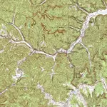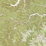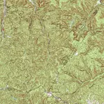


1320: hog branch, 12 French solders and 6 Indians killed on hog branch about 1769. halfway branch, look on topo map for this next part, at top of branch look for small path leading kind of north west. on topo map find small rockhouse just to the northwast, walk in a northeast direction, its about 1 mile. you will see a small flat area where several Spanish were killed by French soldiers. this part I can't say for sure is correct. but when I was there I saw sunken areas and one had bones sticking out. Lester Mullins of long bow boat dock told me about the French solders. at end of
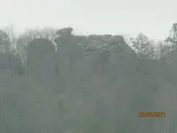
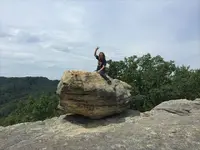
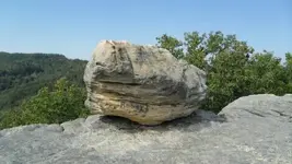
ratliff creek at end on left side is the word oro are ore vary faint. Hiker: the anchor is at end of Clifton creek, look at swift map, you see X at forks, that's tea kettle rock. all the carvings are on it. take west fork or turn right go to end and your standing on the anchor. look at topo map and it shows up like a perfect anchor. tea kettle rock shows several burial places that hides something and also set compass to follow line to mine on second ledge of cliff. from tea kettle the line is 330 degrees.
tea kettle is 1A on swift map.


 1320: hog branch, 12 French solders and 6 Indians killed on hog branch about 1769. halfway branch, look on topo map for this next part, at top of branch look for small path leading kind of north west. on topo map find small rockhouse just to the northeast, walk in a northeast direction, its about 1 mile. you will see a small flat area where several Spanish were killed by French soldiers. this part I can't say for sure is correct. but when I was there I saw sunken areas and one had bones sticking out. Lester Mullins of long bow boat dock told me about the French solders. at end of