huntsman53
Gold Member
- Joined
- Jun 11, 2013
- Messages
- 6,955
- Reaction score
- 6,772
- Golden Thread
- 0
- Location
- East Tennessee
- Primary Interest:
- Other
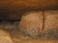
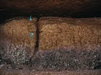
By any chance to the lines on picture #10 match up with any rivers/valleys in the area? Could be part of a map as Frank had said if they do. Just a thought.
DocBeav,
Good point and one which I was going to discuss with Brad over the phone! From viewing the satellite images of the area, the left etching sort of matches the ridge lines in the area of the cave but also may could match the creek system flowing through the hollow below and the surround hollows. It also sort of matches some of the roads (some of which are not labeled on the satellite images) North through Northwest of the cave's location. Some or all of these roads probably existed back in the 1800's and if the etchings are of the roads, ridge lines or creeks, then they probably lead to something buried. The roundish etching which is to the right of the etched tree, ridge lines or creeks and near the crack between the two blocks, could quite possibly be the location of whatever is buried!
Frank


