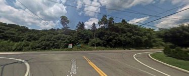
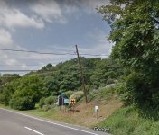
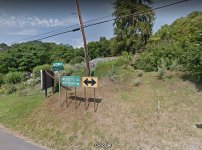
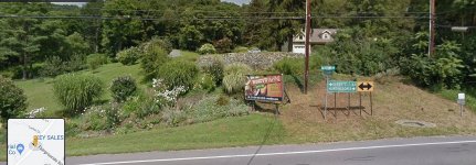
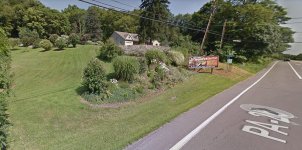
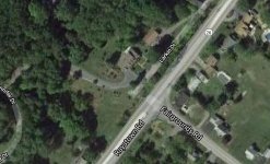
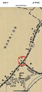
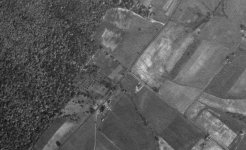
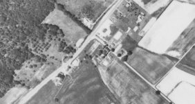
I’m researching areas to detect using old DOT maps and I keep seeing a symbol that isn’t on the map legend. Does anyone know what this means? Ive noticed them at different intersections of roads.
Here’s a link to the original map: https://gis.penndot.gov/BPR_PDF_FILES/MAPS/Type_10_GHS_Historical_Scans/Huntingdon_1941.pdf
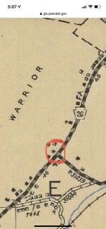
Here’s a link to the original map: https://gis.penndot.gov/BPR_PDF_FILES/MAPS/Type_10_GHS_Historical_Scans/Huntingdon_1941.pdf

Amazon Forum Fav 👍
Upvote
0


