Hi guys,
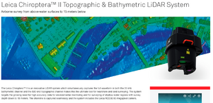
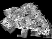
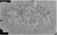
Lets try a little thought experiment. If a person had a search area in an area of the ocean which was 40 to 60 feet deep does anyone think its possible (or is there an existing system) to basically photograph the area in a grid and then use software (Similar to aerial photography) to piece it back into a full grid of the bottom of the search area?
For the sake of argument lets say visibility is good and you can see the bottom from the boat. Sound like an idea? Recomendations of cameras and lenses etc? Does this exist.
Thanks!


