LUE-Hawn
Sr. Member
- Feb 16, 2018
- 401
- 347
- Detector(s) used
- Minelab SDC 2300, Makro Deephunter Pro 3D, OKM EXP 4500 Pro, Garrett Hand Held Detectors, Falcon MD 20, English dowsing springs, Darley Spanish Dip Needle, L-Rods, what’s left of my brain :o)
- Primary Interest:
- All Treasure Hunting
Hello All,
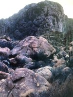
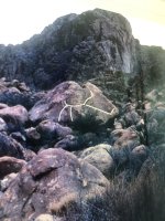
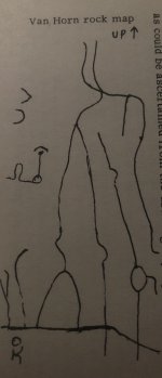
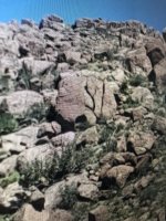
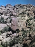
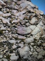
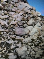
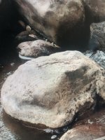
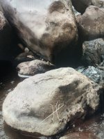
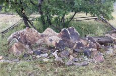
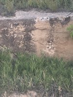
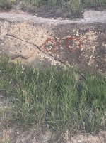
Rock Maps: I have posted several examples of them. Three are in Texas, one is in Southern California, one is in New Mexico, two are in Colorado. I don’t have time to check all of them out maybe you will I know?
I did contact the photographer in one in Texas and they were looking for gold deposit for the land owner. Little did he know that they had walked right by a rock map. The second was written about in a book by Jesse E. Rascoe. The rock was found NE of Van Horn, Texas Its been deciphered and the third Texas one has been deciphered too. The one in southern California is at the lower end of the Pacific Crest Trail, when I first saw it caused me to wonder? It’s only until I flipped it over backwards that it gave the exact lay of the land. The one in New Mexico had caused me to wonder too. It was not until I filled in the lines and laid it out in an overview that led me to the site of some mineral hot springs. One in Colorado gave a certain profile of some mountains nearby. I’m still working on that one? The other one is a directional marker with the associated eyes Leading to a specific rock feature? What do you see?
Bests in Treasure
LUE-Hawn
Attachments
-
 IMG_3284.jpeg2.4 MB · Views: 23
 -
 IMG_3285.jpeg2.3 MB · Views: 22
 -
 IMG_5171.jpeg789.1 KB · Views: 24
 -
 IMG_3286.jpeg3.5 MB · Views: 21
 -
 IMG_3287.jpeg3.8 MB · Views: 24
 -
 IMG_3278.jpeg4 MB · Views: 24
 -
 IMG_3279.jpeg4.1 MB · Views: 26
 -
 IMG_3282.jpeg2.6 MB · Views: 24
 -
 IMG_3283.jpeg3 MB · Views: 27
 -
 IMG_5970.jpeg884.9 KB · Views: 23
 -
 IMG_0879.jpeg1.3 MB · Views: 20
 -
 IMG_0877.jpeg509.5 KB · Views: 24


