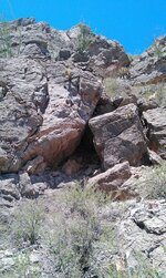
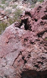
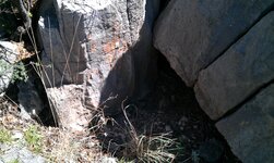
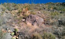
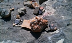
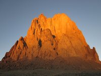
Pictures for pictures sake... monuments and such

All, Thank you for taking the time to reply to my pictures.

Here is the same point of the trail in a different location.:icon_thumright:
 

Attachments

  • buriedatnumbertwopointoftriangle copy.jpg
    buriedatnumbertwopointoftriangle copy.jpg
    133.6 KB · Views: 140
1
2
3
 

Attachments

  • IMAG0188.jpg
    IMAG0188.jpg
    1.4 MB · Views: 116
  • IMAG0313.jpg
    IMAG0313.jpg
    800.2 KB · Views: 131
  • IMAG0395.jpg
    IMAG0395.jpg
    1.1 MB · Views: 117
Which way would you go?:tongue3:
 

Attachments

  • MCT_Tortoise_Hare.jpg
    MCT_Tortoise_Hare.jpg
    253.6 KB · Views: 112
  • routes.jpg
    routes.jpg
    93.2 KB · Views: 139
"Which way would you go" That's a very interesting rock! Right for the animal trail, campsite I suppose. But the other trails..very interesting!Thanks for posting it.


Usernotfound:
It looks like the goodies might be on that trail to the left, by that map. There's a skeleton key just after you begin the left trail. Then further on, are some open circles on the right side of the trail and there's a heart above the first one. At first, that skeleton key looked like an "L" with a circle at the top. Sooooo, there is either a water source 50 feet off of that trail OR that is a sigh giving you the key to the cache.
At the very bottom of the rock, there is a "9" and a "7" with 5 or 6 circles. Two of the circles are laid out with the numbers making the "7" look like a percent sign ( % ).

Thank you for taking the time to look. The end of the trail is 1/4 mile away.
 

Thoughts?
 

Attachments

  • IMAG0352.jpg
    IMAG0352.jpg
    1.3 MB · Views: 155
nice,i like it. native? thanks for posting it,great photo.

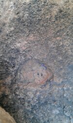
It belongs to the hidden mine. I wanted to take it home, but I left it in place. That little face is a great work of art. That is why I like being on trials, it's a hidden art gallery that few ever visit or even get a chance to view centuries old art.
 

did u follow the white nose 2 mine?

White as snow, my friend, white as snow.

The path to destruction...many will find it.

Less obvious, white nose. Good eye.
 

Usernot found, it has been my experience that two small drill holes as in photo is only a direction indicator as to what the profile indicates I have no Idea, size of the depression may indicate distiance, 1/4 mile may indicate 7 cordel's or 1290 feet feet or aprox 40 feet diference
 

Last edited:
Usernot found, it has been my experience that two small drill holes as in photo is only a direction indicator as to what the profile indicates I have no Idea, size of the depression may indicate distiance, 1/4 mile may indicate 7 cordel's or 1290 feet feet or aprox 40 feet diference

Thank you DSTY. I appreciate your input.
 

This place is dead.

Just cause I can. Can you see the movement of the Pheonix? It is rising...
 

Attachments

  • 682856.JPG
    682856.JPG
    17.3 KB · Views: 108
This place is dead.

Just cause I can. Can you see the movement of the Pheonix? It is rising...
 

Attachments

  • px.jpg
    px.jpg
    141 KB · Views: 114
User:
That is a very unique formation. Besides all those carvings and the shadow figure; the rubble pile that is still encircling the base is unusual, too.
 

Top Member Reactions

Users who are viewing this thread

Latest Discussions

Back
Top