ALewis
Sr. Member
This is probably online, But original maps from turn of the Century are so much more fun ....
Not very busy today at work, So I started poking around in our "back-plant" and found the record of survey maps for the M.D.B&M. from 1914.....Kind of cool....little bit of going through old dusty pages & I was able to find Iowa Hill, Yankee Jim's / Shirtail, etc....Thought I'd post a pic or two.....
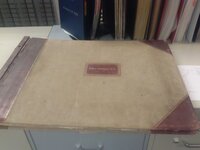
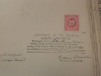
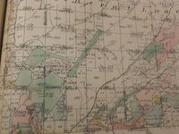
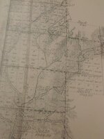
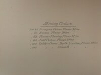
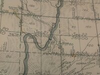
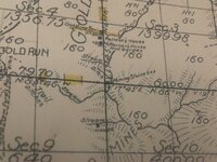
Not very busy today at work, So I started poking around in our "back-plant" and found the record of survey maps for the M.D.B&M. from 1914.....Kind of cool....little bit of going through old dusty pages & I was able to find Iowa Hill, Yankee Jim's / Shirtail, etc....Thought I'd post a pic or two.....


Upvote
0


