JackH
Full Member
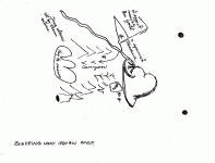
LDM why you can't get it ! MAP #23 (Sleeping Lady)
"Sleeping Lady Squaw Map"
There are a few points I would like to make here.
1) Who says, the "Sleeping Lady" is all about female body parts ?
Yes, I have seen some of the photo's offered by "dutch hunters" that
relate to body parts. I find this Locked On direction about as straight
and narrow as the 4 Peaks stand behind each other, in line. You know
my position on this, "They Stand Together Beside Each Other At The
Same Height !" Guardia Urbano.
A few of us know about the mustered out Cavalry soldiers from Fort
Mc Dowell finding the bags of Gold, which I have deduced was found
at Red Mountain most likely near the Massacre spot.
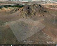
I believe this MAP is a reflection of the view headed away from Fort
Mc Dowell towards the Salt River nearest the Verde River and Red
Mountain in the distance on the right.
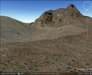
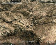
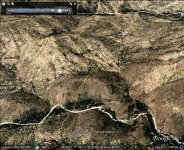
The "Key to mines", "Three stones all by them selves", is the out
cropping I have referred to several times. Located down the arroyo
on the right from Red Mountain as one looks up hill, Red Mountain
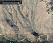
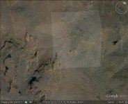
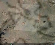
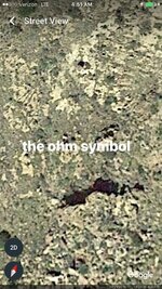
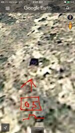
on the left, out cropping on the right. As viewed from satellite images
there are 4 stones. I believe viewed from the map makers perspective
the stone furthest on the right is not included because of its shallow
depth at the surface.
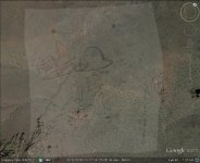
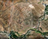
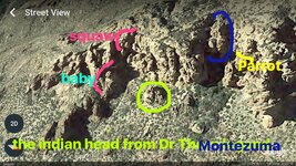
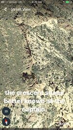
I will not take the time to red pencil anything here, as the images I
offer make this Similarity easy to understand.
Those of you who take the time to investigate my findings with the
tools I use Google Earth, can solidify their feelings one way or the
other on the Accuracy of the information I offer.
Because some of us may be preoccupied at the moment, look for
the Nose, the rest will come into view.


