markmar
Silver Member
- Oct 17, 2012
- 4,175
- 6,355
- Primary Interest:
- All Treasure Hunting
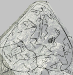
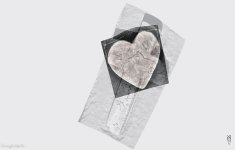
For all who are interested in the stone maps and not. Here it's a GE image of the Latin stone map overlayed on the DON ( lower tablet ) stone Trail map, because there belongs.
Like I wrote in the past, the Jesuits " borrowed " some Spanish codes of maps making, but developed also their own codes. In the image below, in the Trail map, the Jesuits used the Spanish code of marking/drawing with lines some consecutive rows of stones which are located in the region of the map. This is the reason many times I wrote that what it's depicted with lines or shapes in the Spanish/Mexican maps, are not canyons or skylines of hills or mountains.
Like I wrote in the past, the Jesuits " borrowed " some Spanish codes of maps making, but developed also their own codes. In the image below, in the Trail map, the Jesuits used the Spanish code of marking/drawing with lines some consecutive rows of stones which are located in the region of the map. This is the reason many times I wrote that what it's depicted with lines or shapes in the Spanish/Mexican maps, are not canyons or skylines of hills or mountains.


