mojjax
Silver Member
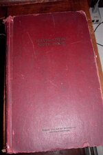
I bought a box of old nautical books at a garage sale a few years ago , and I've been wondering about this Navigation Note Book . It's from 1940 . The pages are full of what (I guess are sextent readings)
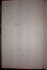
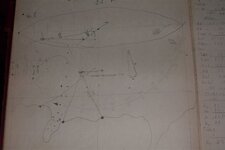
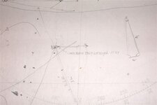
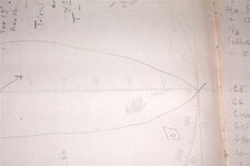
But, on page 2 there is a crudely drawn map , showing what looks like the location of a shipwreak . It says 'wreak became totally submerged 1730' ? (last number could also be a 6)
There is a crude drawing of a coastline showing the position of it . The larger ship-shaped drawing shows the location of the "vault" .
I roughly googled-earthed the Longitude and Lat on the page edge and it comes up just off the coast of N. Carolina . The coast line don't look right though , maybe hurricanes changed it ?
The book is chockablock full of numbers and calculations covering the span of several months .
anyone know of any old wreaks down there ?


