Found this, any ideas?

OregonGold76

Full Member
Oct 9, 2012
163
271
Oregon
Detector(s) used
Whites Spectrum XLT, Garrett AT Gold
Primary Interest:
All Treasure Hunting
IMG_0211.jpeg
IMG_0207.jpeg
 

It's iffy, but depends on how it's compass oriented and whats nearby it.
In picture 2, Line up the spine of the boulder behind the triangular shaped facet, take bearing reading, and go out in front of the triangular facet... Should be another boulder out in front like 20 or so feet in line with the bearing , then a stop boulder twice that far or more off to the side of line. Just one way to use it if it's was a used as a marker.
 

Hi OregonGold76
You do not state where this was located?
Being from Oregon, you may have an idea as to what this might be?
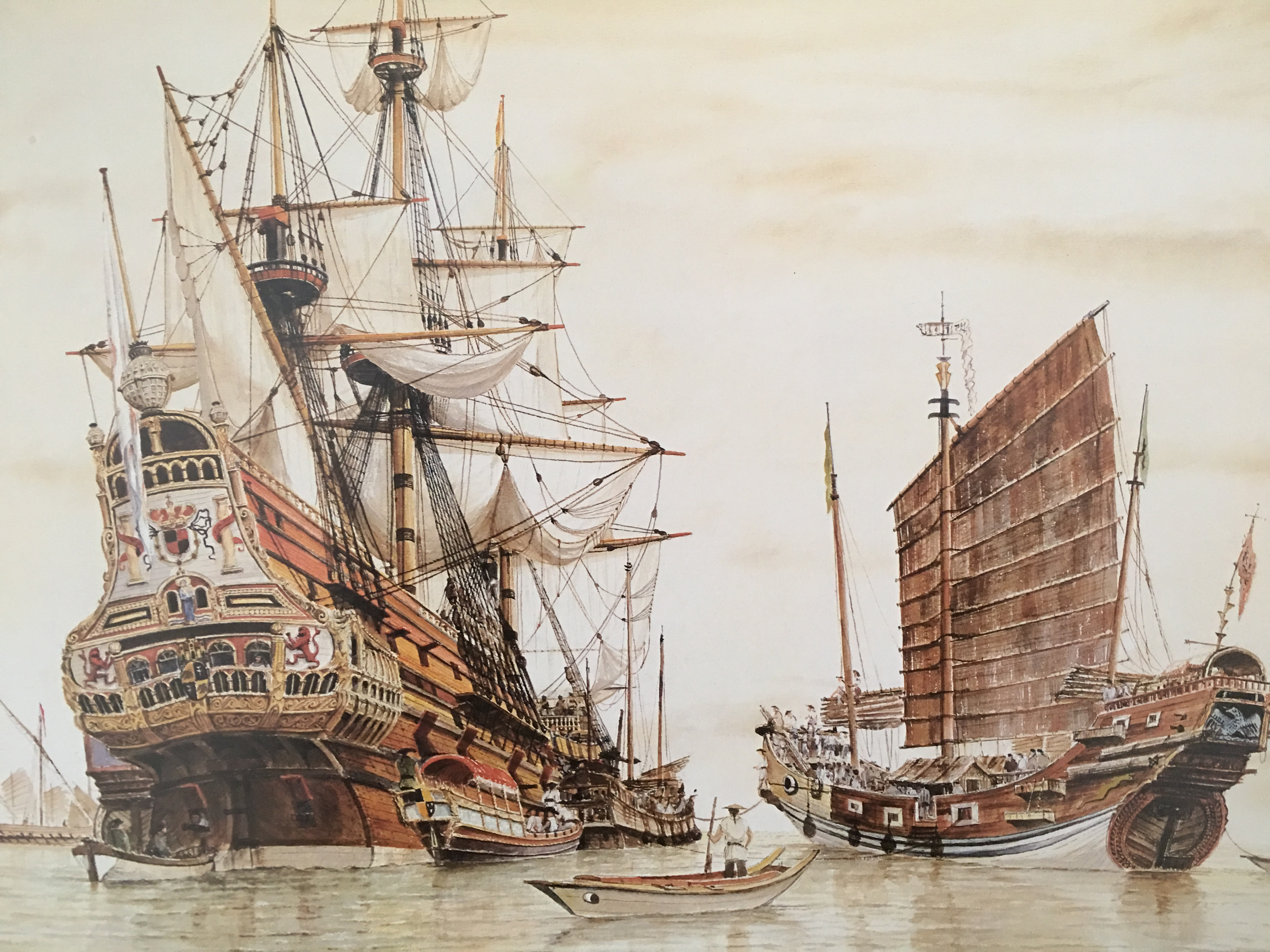
Do you believe this might be a clue to the Spanish Ship of Tillamook County?


Tillamook County – Legend states that a Spanish ship carrying a large amount of gold disappeared in a storm in 1679. Through the years, a number of artifacts have been found on the sandy shores at Nehalem Beach, leading historians to believe this is where the wreck washed up.

The Santo Cristo is better known along the Oregon coast as the legendary “Beeswax Wreck”—a moniker derived from distinctive blocks of beeswax that washed ashore for centuries and were traded by local Native American tribes and later Anglo-European settlers.
 

Last edited:

Top Member Reactions

Users who are viewing this thread

Back
Top