Welcome !!!
Penn Dot Maps from the 40's are a big help
Historic County Maps
But you really need to Learn Them.
A small sampling of Info you can get

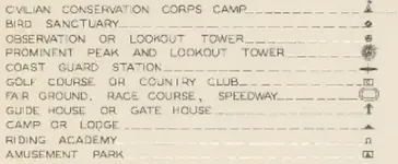
Picnic Groves
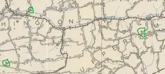
2 of 3 of these circled no longer exist.
Are just woods.
What you need to do is Multi Task.
Open the map up in one window.
Open Penn Pilot up in another
Penn Pilot Photo Centers
Example
on this one

You look for the Nearest Town.
in this Case "Leck Kill"
and search it at Penn Pilot
that ones Obvious The roads are shaped like a Boot
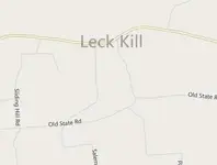
you can then Click
Aerial & if necessary
Labels
Compare I see it was on Salem Road
& how to get there
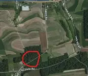
if a Birds Eye View is available
you can see even Closer
Hint
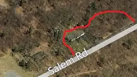
Half this Park is a Home Now the other Half Still woods & Permission is Necessary
Nice thing about Penn Pilot
you can also Search Old Aerials
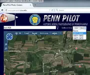
and see the picnic woods in 1938 for example
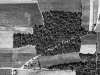
But again Ya Gotta Learn Maps & Be able to Multi - Task.
as For 1800's Maps & Atlas's They can also be very Helpful.
but many times it does take a little longer to Compare,..
In some cases the Map Drawer may be off slightly.
Or the roads may have been moved slightly top avoid Swampy Area Or curves once they decided to Lay Down Concrete


