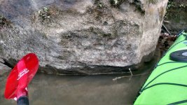
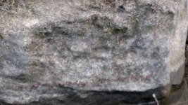
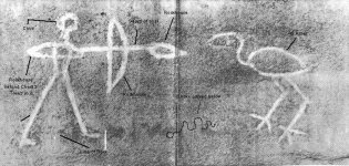
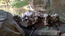
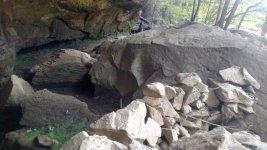
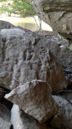
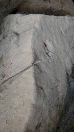
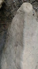
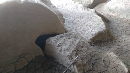
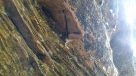
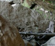
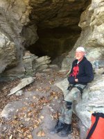
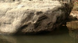
First couple pics.. of Indian shooting bow and arrow... and the crane... Taken few days ago.. badly faded hard to see... 3nd pic photo from boomer showing what the carving looks like .....
Navigation
Install the app
How to install the app on iOS
Follow along with the video below to see how to install our site as a web app on your home screen.
Note: This feature may not be available in some browsers.
More options
You are using an out of date browser. It may not display this or other websites correctly.
You should upgrade or use an alternative browser.
You should upgrade or use an alternative browser.
Pics of carvings on little sandy river near line of rocks..
- Thread starter gh65277
- Start date
- Thread starter
- #3
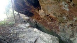
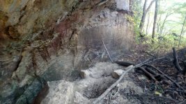
More pics from rockhouse where coins were found..
2 pics of unusual rock in the floor.... Has near 100 little one inch hatchet marks ... Like notches... Wondering if used to track days or task?..
3rd one.. carved hole near floor... Little 3 foot smoother carved hole... Big rock in from of it prob covered hole at one time... Carved out to hide something ?...
4th one cross or plus carved in ceiling...
5th ..another possible carving area and symbols... Looks like one may be a horseshoe..
Attachments
gh: the one with tomahawk marks, were their still chalk marks on them. also the one that looks like plus sign. do you know which way the long end points, it seems to point to the small notch at top of sign. also that 90 degree angle cut deeper. short end may point to something. on number 5 that seems to be an arrow cut in that rock. at the top. remember one thing, before the dam was put in the sandy was only 30 feet wide at the line of rock. average depth was one to three feet. the dam caused a lot of problems for treasure hunters.
- Thread starter
- #5
Did not see any chalk remains on the hatchet marks... The plus appeared to point in direction towards the cove where u can climb up to hike back to the rockhouse with 3 trees were once... Appears to be numerous symbols there...
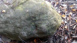
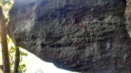
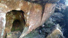
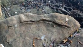
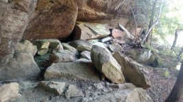
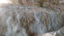
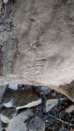
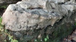
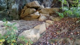
Below few more pics ..from hand carved... heading left around the cliff........ Following my path over two shelters...
Numerous unusual marks or carvings.. definitely not natural... Not sure what many of these are.... On the path of the waybill...
Below few more pics ..from hand carved... heading left around the cliff........ Following my path over two shelters...
Numerous unusual marks or carvings.. definitely not natural... Not sure what many of these are.... On the path of the waybill...
Attachments
-
 1476928053518.jpg94.2 KB · Views: 359
 -
 1476928082747.jpg108 KB · Views: 446
 -
 1476928151337.jpg117.1 KB · Views: 379
 -
 1476928175707.jpg96.9 KB · Views: 361
 -
 1476928196988.jpg102.3 KB · Views: 384
 -
 1476928214147.jpg81.6 KB · Views: 365
 -
 1476928244587.jpg97.8 KB · Views: 438
 -
 1476928270827.jpg102.5 KB · Views: 366
 -
 1476928320237.jpg92 KB · Views: 396
 -
 1476928333792.jpg77.3 KB · Views: 379
 -
 1476928345757.jpg110.7 KB · Views: 372
- Thread starter
- #6
Our local cave exploring group "esso grotto" shared some pics from their outings yesterday.... I recognized one of their pics from near Carter City kentucky... This is the old silver mine... Near rock spring that lekain supposedly mined in the 1750's... The old Carter City school... Stone building where my father graduated from this school in the 1950's is very near....
Attachments
- Thread starter
- #7
This pic not on little Sandy river but on caney creek that runs into little sandy river at cranes nest....Elliott co kentucky..
Rock beside of stream... Lake and back waters down couple feet from summer pool...
Pic below... rock exposed today....not sure what it is.. possible snake carving...possible symbol...message for some one..
Just below monument rock ......with hand carved and various symbols... Letters... Down by stream on caney creek....
Attachments
Curtis
Hero Member
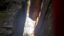
Great pics...been all over that area.. arcoss from the line of rocks is the starting point for the 6 Indian silver mines...As far as I know I am the only one that found the rainbow...and all but one of six of the mines. Your picture of the long rock on its edge with a gap between it and the wall is also part of the directions to the mines.
- Thread starter
- #9
Thanks for commenting Curtis... I have followed and read all of ur post on tnet for Indian waybill and Elliott County area... Would love to talk to u about that area.. wished I could have attended meeting of the minds back then...
Am fascinated by the waybill... Wanting to find and see all I can ..carvings ..marks.. the mines... Anything that relates to the indians ..french and Swift......and the possibility that JS mined here or others mined here that he knew...
Yesterday wife and I went to lid gap...explored... Took many photos... Saw shelters.. carvings.. the mine there... Posted pics on Steelys Facebook site on swift... Will post here shortly...
Own farm very close to Stampers property on Mcglone creek... Near Carter City... Lekains area... My grandmother knew tid bits about the story and area ..grew up hearing this and that... Caved at Carter city Caves.. allegunink system when I was younger... Counterfeit and cow cave... And nearby rock spring..
Been following waybill...been to line of rocks explored shelters there..now at lid gap...
Kayak here often..familiar with the area ... Love this...
- Thread starter
- #10
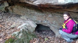
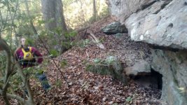
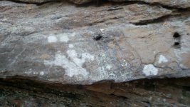
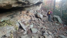
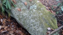
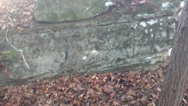
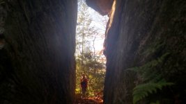
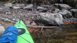
Pics taken of lid gap area and the mine there...in Elliott County kentucky.... Following indian waybill... kayaked to the gap....We hiked around found the mine ....possible anchor carving ... Hiked up thru the cliff found an old ladder someone had used to climb on top cliff towards the indian stair steps on the other end...
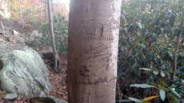
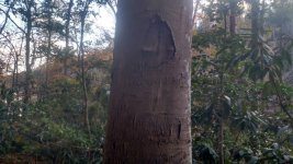
Pics below... Shelter on around cliff found carved tree... Various symbols .. 2 pointers carved ...circle with line thru... Initials carved looks like upside down J or a 5....
Fasinating area...
Neat finds.... following the waybill......
Pics below... Shelter on around cliff found carved tree... Various symbols .. 2 pointers carved ...circle with line thru... Initials carved looks like upside down J or a 5....
Fasinating area...
Neat finds.... following the waybill......
Attachments
-
 1479070207112.jpg105 KB · Views: 405
 -
 1479070244361.jpg109 KB · Views: 373
 -
 1479070287261.jpg82.8 KB · Views: 386
 -
 1479070312391.jpg95.5 KB · Views: 393
 -
 1479070357331.jpg102.1 KB · Views: 359
 -
 1479070396101.jpg96.7 KB · Views: 394
 -
 1479070439821.jpg103.3 KB · Views: 385
 -
 1479070467531.jpg96.1 KB · Views: 373
 -
 1479070502871.jpg46.8 KB · Views: 352
 -
 1479070555621.jpg99.3 KB · Views: 361
 -
 1479070957581.jpg54.4 KB · Views: 360
Brushy Bandit
Full Member
I've found many X's and unreadable markings throughout this area, I've siphered endlessly bout what they are and mean. Beautiful country, the stories and legends and treasure keep me from staying away from it for very long.
KY Hiker
Bronze Member
- Oct 28, 2014
- 1,539
- 3,221
- Detector(s) used
- Whites
- Primary Interest:
- All Treasure Hunting
Bumping this thread to top because these pictures are great and pertain to the waybill threads.
KY Hiker
Bronze Member
- Oct 28, 2014
- 1,539
- 3,221
- Detector(s) used
- Whites
- Primary Interest:
- All Treasure Hunting
Bump again.
Top Member Reactions
-
 3527
3527 -
 2090
2090 -
 2049
2049 -
 1158
1158 -
 1114
1114 -
 927
927 -
 848
848 -
 823
823 -
 818
818 -
 782
782 -
 770
770 -
 542
542 -
 531
531 -
 453
453 -
 452
452 -
 446
446 -
E
424
-
 413
413 -
 410
410 -
 404
404
Users who are viewing this thread
Total: 2 (members: 0, guests: 2)


