trinityau
Full Member
- Joined
- Jan 20, 2010
- Messages
- 239
- Reaction score
- 797
- Golden Thread
- 0
- Location
- Redding, Ca
- Detector(s) used
- Gold Bug Pro, GP 3000 modified
- Primary Interest:
- Prospecting
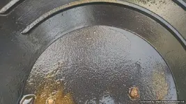
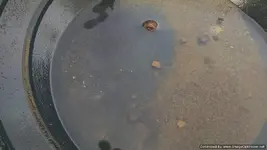
Hello all, I got out today with one of my friends and we went exploring. We were moving up a wide draw that had water running in it and came up on an inside turn where we found evidence that someone had been playing around recently. There was a black plastic gold pan lying near the creek by some cleaned out cracks. We had not found any gold yet so we decided to stop for a bit and see what was in the area. Chris used his small pick and scraped out a few shallow cracks that had moss covering them. He then panned the material out to see several pin point bits of gold. The area was worked all around by the old timers but I am pretty sure the fine gold is what they were recovering. I continued to detect near the water's edge and finally got a soft signal on the bedrock, but It turned out to be a tiny piece of lead.
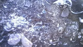
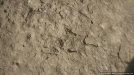
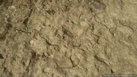
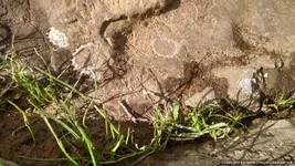
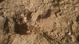
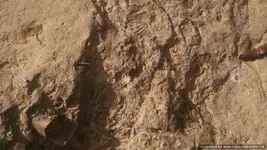
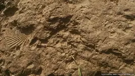
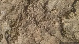
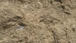
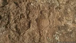
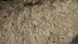
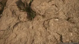
While on my knees and looking at the bedrock in front of me I saw what I thought was a boot track in the bedrock. In the split second that my mind was telling me one thing I was thinking another. This is pretty hard bedrock and there should be no print. Looking again I realized that was looking at fossilized ground. Checking closer I could see lots of prints embedded in the rock. I don't know what many of them are but it sure was neat seeing them like that. After playing around and taking some pictures we decided to move on and see if we could find a piece of gold a bit larger than what was in the pan.
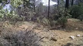
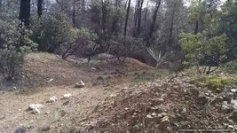
As we were going up the public side of the draw I spied a digging up the hill on the private side. We checked out our location on the phone and have it earmarked for a possible trip in the future if we can gain permission from the owner. We were real close, however without permission it was a no go for me.
I would appreciate any information that anyone can offer as to what the names are for some of these creatures we found in the rock.
Thanks, TRINITYAU/RAYMILLS
TRINITYAU.COM
Sorry about the confusion with the pictures from another site. This should work for all.


While on my knees and looking at the bedrock in front of me I saw what I thought was a boot track in the bedrock. In the split second that my mind was telling me one thing I was thinking another. This is pretty hard bedrock and there should be no print. Looking again I realized that was looking at fossilized ground. Checking closer I could see lots of prints embedded in the rock. I don't know what many of them are but it sure was neat seeing them like that. After playing around and taking some pictures we decided to move on and see if we could find a piece of gold a bit larger than what was in the pan.


As we were going up the public side of the draw I spied a digging up the hill on the private side. We checked out our location on the phone and have it earmarked for a possible trip in the future if we can gain permission from the owner. We were real close, however without permission it was a no go for me.


I would appreciate any information that anyone can offer as to what the names are for some of these creatures we found in the rock.
Thanks, TRINITYAU/RAYMILLS
TRINITYAU.COM
Sorry about the confusion with the pictures from another site. This should work for all.
Last edited:
Upvote
0


 I almost would think that this find would be almost is good as finding gold.