skyhawk1251
Sr. Member
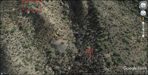
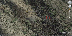
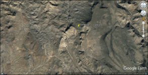
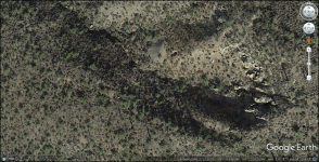
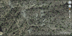
Using GE, I spotted a good-sized mine dump at the upper end of a ravine SE of Hackberry Mesa. My topo map doesn't show a mine located there. From the mouth of the ravine, it looks like almost a 300-foot climb to the mine. Someone viewing this might know the name of the mine and its history.
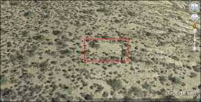
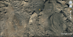
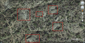
I also see what could be dumps in a small, concentrated area nearby. Those are shown enclosed in red boxes in the last image. I chose an overhead view to show all of the dumps in one image.
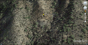
I also see what could be dumps in a small, concentrated area nearby. Those are shown enclosed in red boxes in the last image. I chose an overhead view to show all of the dumps in one image.


