darthoblio
Full Member
- Jun 19, 2010
- 114
- 20
For the last couple years I've been in a part of California that is pretty homogeneous in Google Earth: the north-central part of the Big Valley, the one that can be seen from space. But I used to live in San Diego County, and in that hilly country, which is fairly littered with artifacts from the 19th and 20th centuries going back for literally thousands and thousands of years, I've found GE to be a fascinating tool.
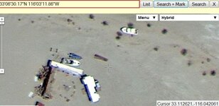
I learned that the deserts east of the city of San Diego have lines similar in some ways to the lines of Nazca: they go nowhere, but extend arrow-straight for miles. I've pinpointed the location of old stage and rail stops. I've been able to establish alignments between standing stones that I believe are not accidental. I've located old cabins, mining camps, and even abandoned drive-in movie theatres and trailer parks (cha-ching!)
So I wonder how many of you use GE as a research tool? Do you find it useful in your particular area? I find it's useless to me locally here in the valley, whereas down south it was one of my best tools. What do you like (or not like) about GE?
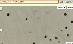
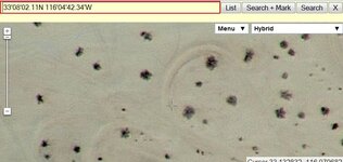
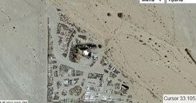
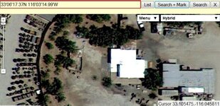
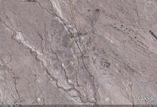
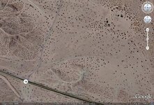
Here are some SoCal screenshots from Google Earth. I've left the latitude & longitude markers in so y'all can look for yourselves. The round black dots, by the way, are creosote bushes.
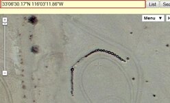
Glyphs like these appear all over the desert. It's easy to interpret them as the marks left by dune buggies, but they're single lines, not tire marks. Also, they don't even connect with each other or the nearest road. There could be a very ordinary explanation, but it hasn't occurred to me, yet.
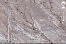
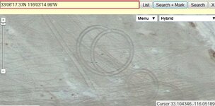
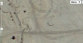
These lines are not near any paved road. The road that runs N to S on the left side is nothing but a dirt track that runs for miles. The one that crosses E to W below center you would probably never notice, hiking past. This is out in the middle of nowhere.
And just east of that location:
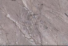
Nothing visible here above ground.
So, how has GE helped you?
I learned that the deserts east of the city of San Diego have lines similar in some ways to the lines of Nazca: they go nowhere, but extend arrow-straight for miles. I've pinpointed the location of old stage and rail stops. I've been able to establish alignments between standing stones that I believe are not accidental. I've located old cabins, mining camps, and even abandoned drive-in movie theatres and trailer parks (cha-ching!)
So I wonder how many of you use GE as a research tool? Do you find it useful in your particular area? I find it's useless to me locally here in the valley, whereas down south it was one of my best tools. What do you like (or not like) about GE?
Here are some SoCal screenshots from Google Earth. I've left the latitude & longitude markers in so y'all can look for yourselves. The round black dots, by the way, are creosote bushes.

Glyphs like these appear all over the desert. It's easy to interpret them as the marks left by dune buggies, but they're single lines, not tire marks. Also, they don't even connect with each other or the nearest road. There could be a very ordinary explanation, but it hasn't occurred to me, yet.

These lines are not near any paved road. The road that runs N to S on the left side is nothing but a dirt track that runs for miles. The one that crosses E to W below center you would probably never notice, hiking past. This is out in the middle of nowhere.
And just east of that location:

Nothing visible here above ground.
So, how has GE helped you?
Amazon Forum Fav 👍
Last edited:


