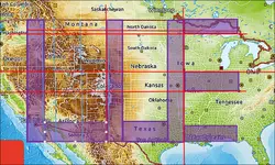
Since I am in the business of "making my own treasure maps", thought I would share that I decided to get ArcGIS Pro and do some better coordinate finding.
Not to cast doubt on anyone, but I included some of the locations mentioned in another post by a reputable poster.
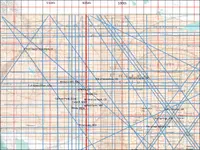
Here is what I put together:
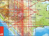
Now, you will notice that in this picture, Salida, Rye, Francisco Peak, Black Lake, Mora, Conejos Peak, Corrizozo, and Bloomington are all listed on here. The significance that is plain to see is that the lines of intersection are visibly close to each point.
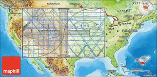
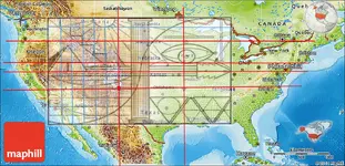
Taking this a step further, I added in some -personal- points of interest (POI):
N of Taylor Mountain in Idaho -
https://mysteryofutahhistory.blogspot.com/2016/10/legends-of-2-taylor-canyon-gold-mines.html
E of Green River in Utah -
4 Rivers in Utah Where You Can Go Panning for Gold - RareGoldNuggets.com
Brewery Hill (Breckenridge) in Colorado -
https://www.gobreck.com/experience-breckenridge/breckenridge-gold-mine-tours/
N of Woodrow (Unincorporated) in Colorado -
https://en.wikipedia.org/wiki/Woodrow,_Colorado
E of Van Alstyne in Texas - this was the 'dot' in one of the map versions that was in the middle of the circle.
Hot Springs in Arkansas - this was the 'second dot' in the same map as Van Alstyne.
N of Bidville in Arkansas - mountainous terrain, no finds that I can tell at this time
So it bares believing that this method of mapping could possibly lead to multiple types of mineral deposits as well as gold specifically. Just use similar methodology and check it out. Can't hurt, right?
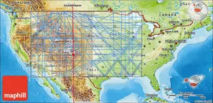
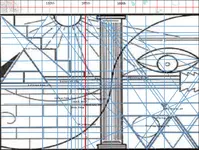
Here is a transparent view of the map:
